Adding a plan to Manitou consists of three main steps:
- Add a Plan - This is the container for the plan layers.
- Add a Layer - Layers contain the image files uploaded to Manitou.
- Add Areas, Points/Zones, Devices, and the like.
Adding a Plan
![]()
- Click the Plus sign (➕) to add a Plan.
- Enter the description of the Plan. Common names reflect the details of the site, such as "Main building", "Warehouse", etc.
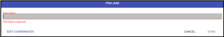
- If necessary, select the "Edit Coordinates" to set the specific GPS location of the property.
- Click Done.
- Remember, to Save (💾).

This adds the Plan to the system and enables the Layers for image addition.